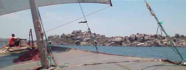
Photo: E Bf 6, mooring under rocky Kiregi Island, hoping for afternoon wind change
Crtd 07-09-27 Lastedit 15-09-14
Round Ukerewe
Mud and reed, a Frisian landscape
070927 08:00 E Bf 6, heavy waves 3 km
anchor drift during night (no danger, 40 m depth downwind). We lift anchor, a bit
cumbersome in the waves, the anchor drifts another 200 m then finds a firm
ground from were we do not succeed to lift it (40 m is an 11 story building).
11:00 in a temporary wind drop we succeed to lift the anchor and head port for
Kiregi, a rocky islet just in front of Ukerewe, waiting in its lull for wind
change. Even though across the map's white zone, Kiregi Island was were is should be
according to the calibration, error 500 m.

Photo: E Bf 6, mooring under rocky Kiregi Island, hoping for afternoon wind
change
Maize porridge with fish for crew, no more bread, but
spaghetti for for captain.
13:00 Wind turns SW (unusual) 3 we head over port SE for Ukerewe SE corner (map)
and round it to moor 2 km S of Ukerewe channel, the channel between Tanzania
mainland and Ukerewe Island.
070928 08:00 SE 5 freshening to 6. We lift anchor without sail and head drifting before wind to the channel (5 km/hrs!). We see nothing decisive yet but we assume two entrances. The right one is not enough downwind to reach without sail. We do not want to use sail because the channel was told to have got shallow lately. The danger is a heavy hit to our deepest part: the rudder, which might break rudder hinges, rudder joints or even the stern itself. Our data are a Google Earth Satellite picture, our English admiralty map and flight map. The flight map CHUM Date: information as of - 9/1/1990 is quickly put away: it displays a 3 km wide channel and we do not yet see anything. Reed only.
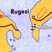
Picture. This flight map draws a 3 km wide channel
between Tanzania mainland and Ukerewe
File name tpcm05a.FX3
Source ID: TPC MO5A, Edition 1
CHUM Date: information as of - 9/1/1990
Imformation Date: CHUM Date: information as of - 9/1/1980
The Google Earth satellite picture ("� 2007") displayed four (!) channels, the one we identify as used before by Philemon is also represented as 3 km wide. Philemon says the channel was indeed wide until 2003-4. The English map (1902-1955) features a narrow channel.
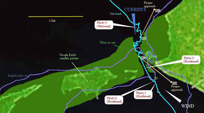
Picture: Google Earth satellite photo of Ukerewe channel with English Admirality map (dark blue), our track (light blue) and what we saw (unicoloured green) (for location of channel see Google Earth Lake Victoria location 27/9)
Then, in a landscape reminding your reporter of the Northern Netherlands lake region of his youth (though here desolate except for some sailing fishers) we start to see a 20-30m wide channel.
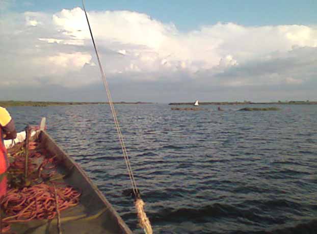
Photo 1 (taken Northward, see map above, open in separate window): Frisian scenery at Ukerewe channel. Entering SSE 5 without sail: 4.8 km/hrs. Left of reed we will ground on mud ridge
On approach our rudder grounds on a mud ridge (left of the reed tuft on photo 1). We decide to lop off the rudder and drift sideways on the SE 4-5, dropping anchor later to put the rudder back on. The mud ridge is just deep enough to pass. WE put the rudder back on, downwind we head in the channel, where we meet a strong head current (2.8 km/hrs).
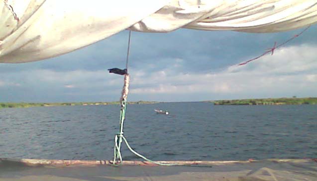
Photo 2 (taken Northward, see map above, open in separate window): Rudder up, we move sideways to wind 2.3 km/hrs. Far: canoe just dropped anchor
The head current makes us move to the West side of the channel which is a slightly lee shore.
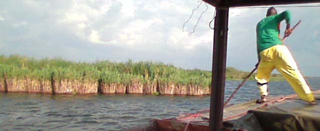
Photo 3 (taken Northward, see map above, open in separate window): SSE 6, blowing us port side, Philemon tries to stay clear by quanting
We ground at the West side of the channel and continue by putting anchors at the East side, pulling us to them, then putting new ones. Midstream our head current puts stronger force on our dhow than our back wind, so the pulling is heavy. No chance to pull the dhow by canoe and outboard. Finally we reach the North exit of the channel, where we spot a sandbank that at many places even is too shallow for our drawing 40 cm only! We pull us out without rudder.
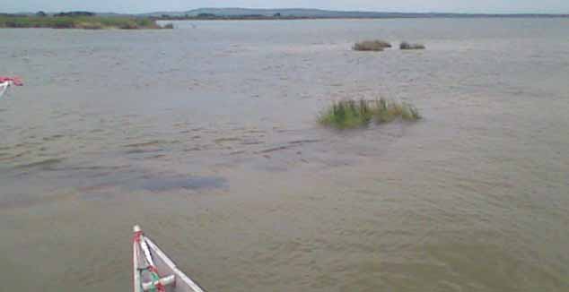
Photo 4 (taken Westward, see map above, open in separate window): sandbank at North end of channel, picture taken West, wind SSE 6, channel current N 2.3 km/hrs
Clearly this area between Ukerewe and the Tanzanian mainland
changes a lot due to mud taken by the currents. Needless to say: like
in Bukoba no trace of Tanzanian lake safety department SUMATRA, marking sticks, let alone beacons or
dredging attempts. The operation took 4.5 hours. The channel is 1 km. We know
now what is the right route through the channel (yellow straight lines on map
above (open map in separate window) but we are not sure whether we
could do it with rudder on.
NW to the beach of Doi's village, but wind drops and turns NW 2. We head for the
shore and moor
070929 07:00
SE 3, rain far SE, but heavy cloud build up. After 20 minutes storm SE 7-8, no rain. At 08:30 wind down to Bf 5-6, and we head NW to Doi's village, Kagunguli arrival 09:30.
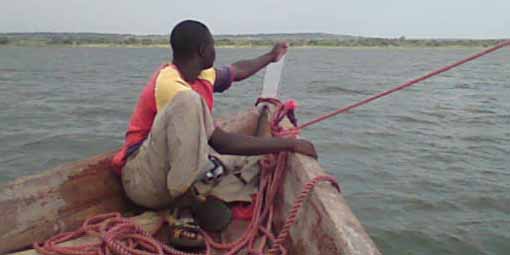
Photo: Doi sighting his village. At our back Philemon's Magita district, Mara and Serengeti