
Crtd 08-02-20 Lastedit 15-09-14
Storms
Some Rain Storm Pictures

Baby tropical storm at ca. 80 km over Ukurewe Island (Tanzania). It will be mature in two hours.
\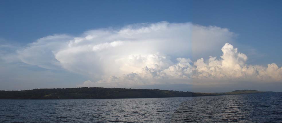
Second stage: hot air pushes up higher colder air on 11 km altitude (- 40oC, tropopause), creating circular clouds (ice particles)

Same stage as the photo above. Sunset on land-grown what this means rainstorm 40 km in the East, seen from our mooring Jinja bay (off. Napoleon Bay). Approach from this angle is the most dangerous for us (10 km free water for wind to accelerate)

Karungu Bay (Kenya). Mature tropical lake-grown what this means storm just not near enough to put down your sail (ca.20 km).
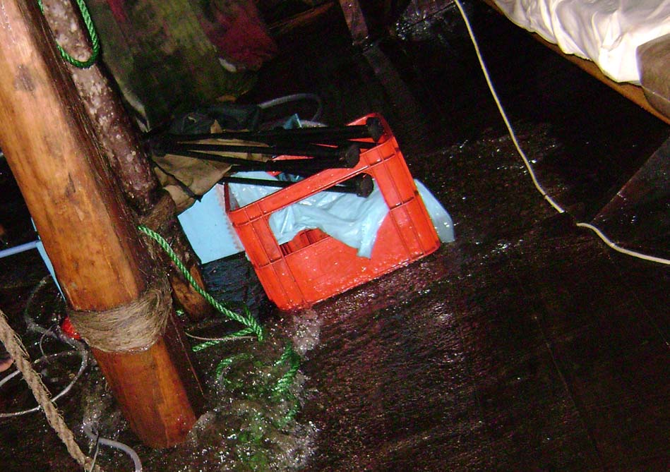
Photo: dhow jumping around on thunderstorm waves from one ear to the other, floor floating, water tossing around, right a tip of the captain's soaked bed sheet (last photo of the day, camera got wet and batteries had to be removed). Go to: Source Page
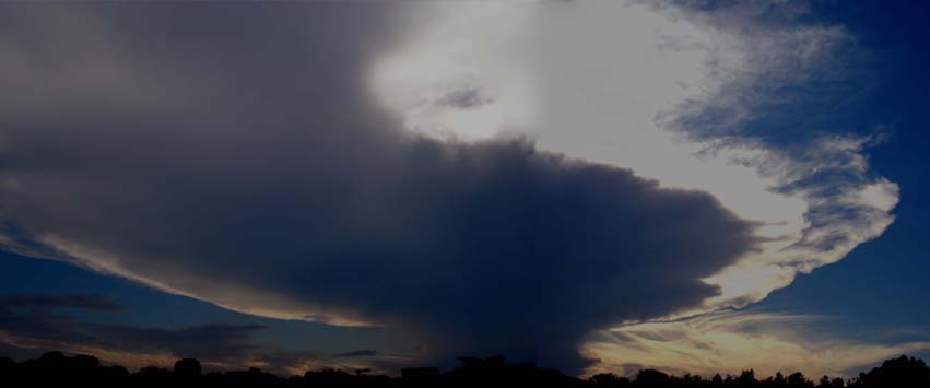
Sunset behind land-grown what this means rainstorm 30 km in the West, seen from our mooring Jinja bay (off. Napoleon Bay).

Jinja, Source of the Nile (Uganda). Tropical storm, torrential rain straight over us, sight range 6 m, a tornado blowing us sharply port and 30 sec. later sharply starboard, blew us to the shore for the third time. Another night we got blown half-way to the shore. Again another day, I was in town, Doi had our rear mooring line snapped in gale gust from the land side! (the serious parts of these storms never last more than an hour or so). Google Earth satellite picture of the bay
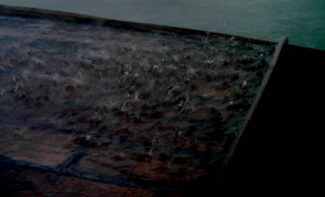
May 2006: 60 mm rain on our deck (4000 Liters, 266 Buckets) in half an hour
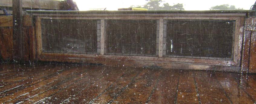
Hailstones on the steering deck
This tornado reached the lake surface on a totally quiet place, far from the storm centre, 5 km South of us. Upward (not shown) its long trunk led over our heads to the pitch-black clouds of the storm centre in our Northwest! We did not get the tornado, but wind and water we got, a few minutes later (middle photo: our steering deck). It was close, but Philemon succeeded to enter the canoe (photo right) without making it sink, and bail it out
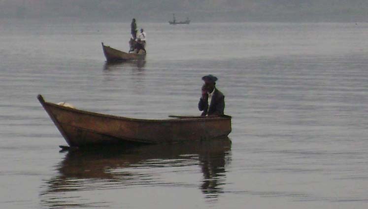
Between storms, the Nile bay is a mirror, and modern communication in Ugandan fishery resumes Google Earth satellite picture of the bay
Picture: Nile Bay (officially "Napoleon Bay") Kingfisher mooring. Dirt bike cleaned, background: boats blown ashore, tent roofs blown off their frames Google Earth satellite picture of the bay
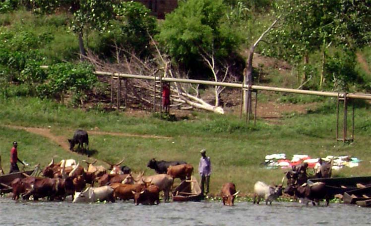
Nile Bay, Kingfisher mooring. Afternoon laundry and cow drinking, tree snapped in storm on background Google Earth satellite picture of the bay
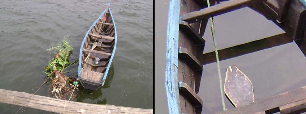
Nile Bay, Kingfisher mooring. Storm pulled our rear mooring line too strongly for the tough roots it was tied too Google Earth satellite picture of the bay More about anchor mooring incidents
 More
about anchor mooring incidents
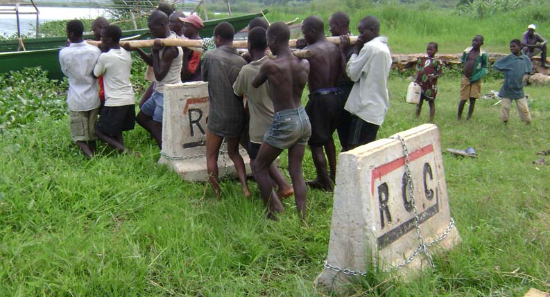
Kingfisher home mooring: our latest move in our contest with tempest: we chained the dhow to two lake bottom concrete traffic squeezers, kindly donated by a road building company, each not liftable by 12, just liftable by 14 people (recruited from the village, because shore side onlookers after putting themselves ready, suddenly pretended to be dissatisfied with USh 1000 = � 0.45 each). Our chain buoys are second hand filthy jerry cans fixed with the chain through the handgrip, but jerry cans are near currency in Africa, their value �1.80, is more than the average wage for two days, and one of them got stolen in the second night by cutting it off its grip, reducing its value to � 0.50, which is the wage for the diver we will have to hire if one time theft occurs while we are off, a chain sinks and has to be retrieved from the lake bottom ...[later addition: in fact this happened, click here]
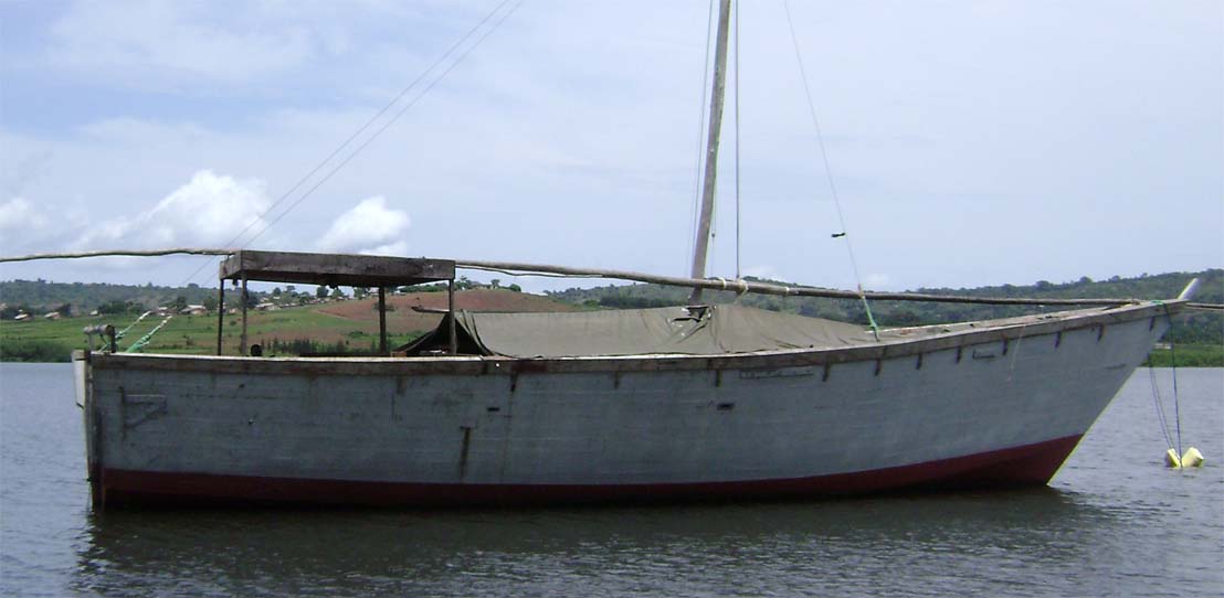
Mooring on concrete blocs, tent now extends to tip of bow, lifted day time to yield deck shade and ventilation
Go to:
Storms in the weather system of Lake Victoria
Go to:
More about Lake Victoria